

Yesterday there were a few isolated little scuds around, but at least one of them dropped more rain than expected. I was heading out to check on some stock when the road started to flick up a bit of mud. About then I suddenly realised that the previously dry gully 100 yards away was now just breaking it’s banks so I turned around and beetled back to made sure I was on the house side of the creek.
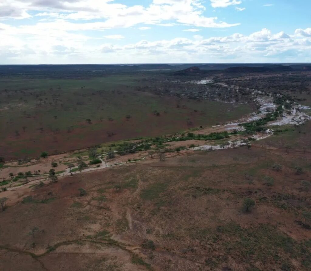
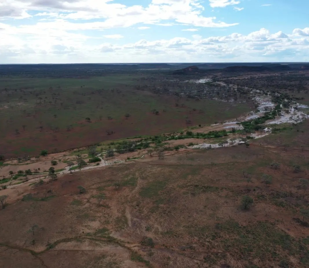
Drone photo 1. What we call Fat Cattle Creek with the lead of the storm water coming down. We think the scud most have rained itself out over Beehive Hill (single hill at the top of the water).
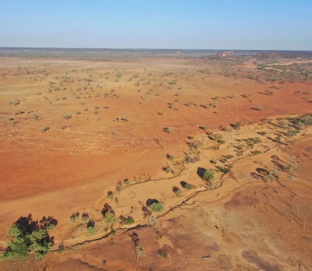
Photo 2 is one I’ve shared previously, it’s the same creek as photo 1, (but I couldn’t get the drone to fly out far enough to get most things matched up.) From early January. This paddock rain gauge has since had about 2.5 inches for the month. It’s greening up nicely.
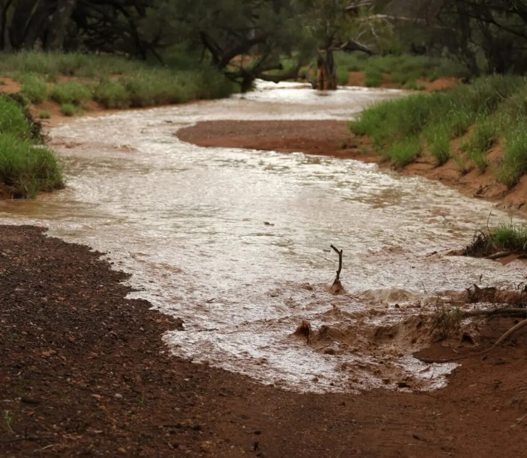
Photo 3 Walking up the creek to find the lead of the water coming down. This is a different creek called Dead Horse but it starts up near Beehive Hill too.
